A round trip, road trip with rental car through Lofoten, Svolvær Å, Mortsund, Henningsvær, Uttakleiv, Kabelvag. Raftsund, Trollfjord (Norway).
Norwegen and Lofoten 2024
A road trip in a rental car (round trip).
Nordland: From Bodø to Tennevoll
Vesteralen: From Harstad to Stokmarknes
Lofoten: From Stokmarknes to Lodingen
Nordland: From Bognes über Lekanger to Bodø
You can find our picture gallery/picture gallery with all our Norway pictures hier
Tag 8: Stokmarknes – Svolvær – Stokmarknes
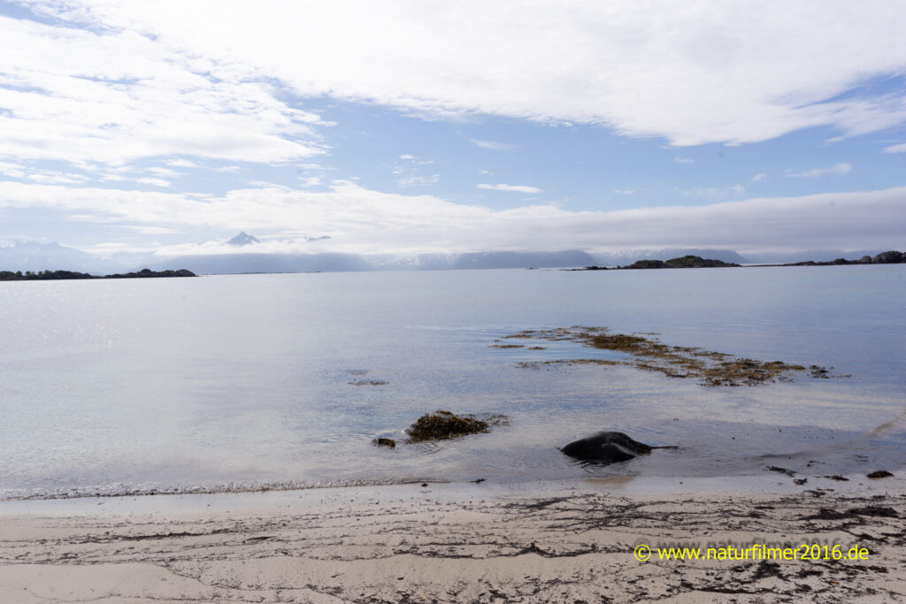
The next day, we went on a round trip around the island of Hadseløya in the morning. Starting at Stokmarknes, we drove westwards via Röirvik to the westernmost tip of the island. Here there is a bay with a small white sandy beach and a beautiful view of the north side of western Lofoten.
Photo: Kollvika, Strand, Röirvik, Norwegen
In the afternoon, we booked the (very cheap) senior tickets online for our short Hurtigruten trip from Stokmarknes to Svolvær and back to Stokmarknes.
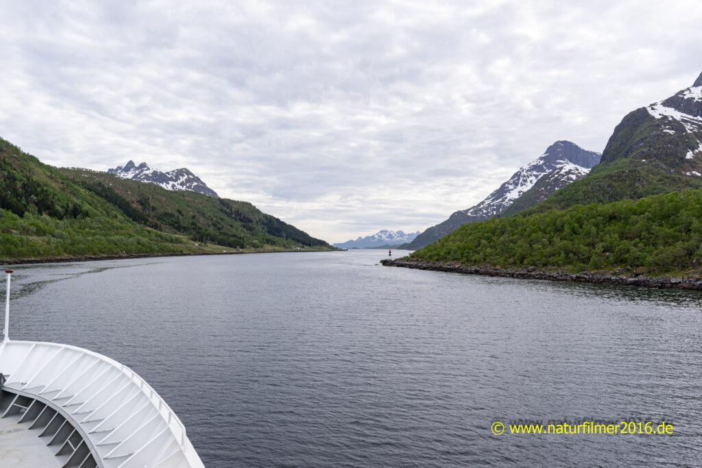
At 15.15 we left the port of Stokmarknes on the Hurtigruten ship VESTERALEN. We crossed the Raftsund in a southerly direction.
Photo: Entering Raftsund on the southbound Hurtigruten ship.
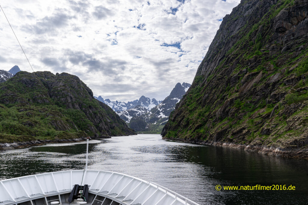
This included the highlight of the tour, a detour into the Trollfjord. The Trollfjord is a very narrow fjord, only 100 m wide and flanked by steep mountains 1000 m high. At the end of the fjord, the ship turned 180 degrees, leaving only a few meters between the rock face and the ship.
Photo: Entering the Trollfjord with the southbound Hurtigruten ship.
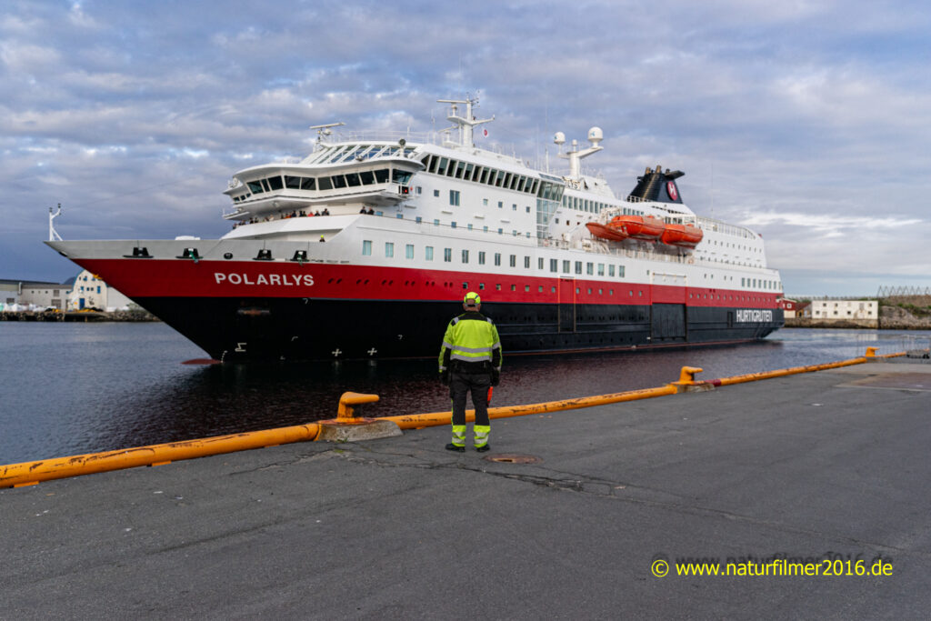
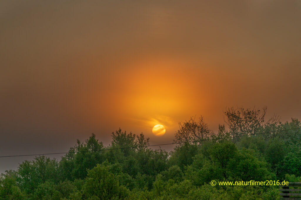
In Svolvær, we visited the capital of the Lofoten Islands. At 22.25 we returned northwards on the Hurtigruten ship POLARLYS. For once, this ship also sailed the Trollfjord, which we reached at midnight. A special experience thanks to the midnight sun. At around 2.00 a.m., our ship sailed back into the port of Stokmarknes.
Photo: The northbound Hurtigruten ship POLARLYS in the port of Svolvær
Tag 9: Stokmarknes – Henningsvær
After breakfast, at around 9.50 am, we set off from Stokmarknes to Melbu to catch the 11.10 am ferry to Fiskebøl.
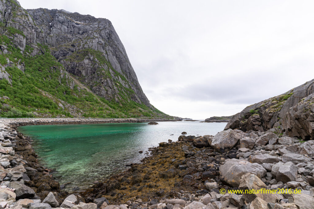
Then we had to master the short distance (25 km) to the tourist stronghold of Henningsvær. Numerous motorhomes meeting each other also struggled along the narrow side road 816.
Once we arrived on the Lofoten island of Austvågøya, we drove along the E10, the Lofoten tourist road, to Svolvær.
Photo: Rørvikstranda, bay on the access road E10, R816 to Henningsvær
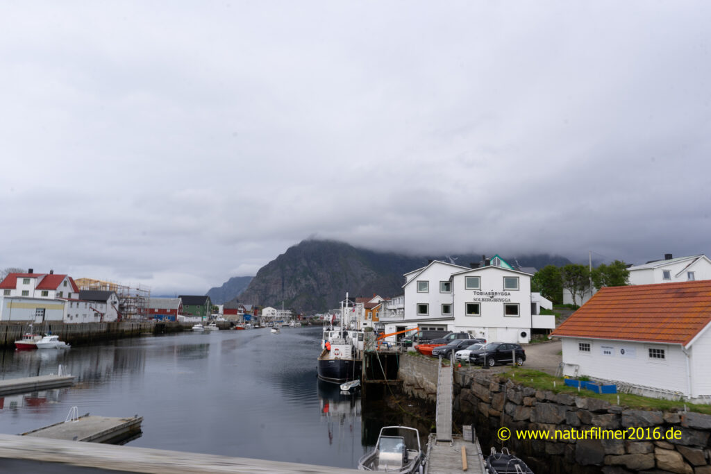
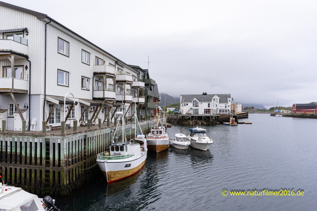
In Henningsvær, which is built on numerous islands, we found our hotel after crossing several bridges. We then visited the town and had a very good dinner in a café/restaurant run by young, very enthusiastic people.
We rounded off the evening with a glass of wine in the very tastefully designed hotel lobby.
Photo: Henningsvær, Lofoten, Norwegen
Tag 10: Henningsvær – Gimsøysand – Henningsvær
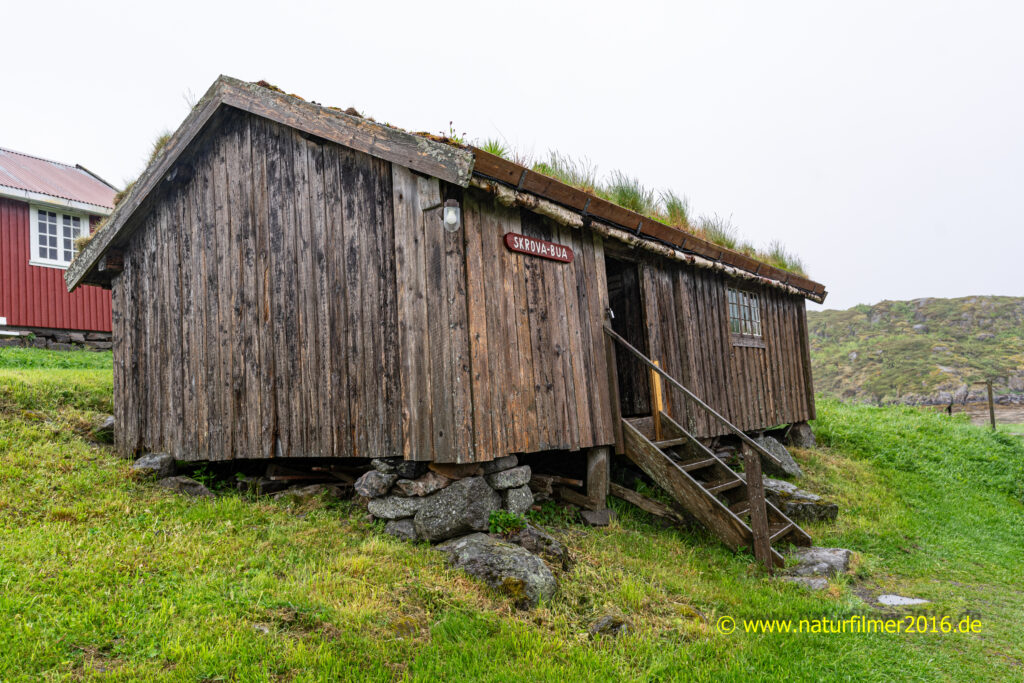
The first thing we did on this rainy morning was to visit the Lofoten Museum in Kabelvåg. The Lofoten Museum offers a deep insight into the life of the inhabitants (fishermen) on the Lofoten Islands in times long past. Boats, living quarters and other workrooms are on display in various buildings.
Photo: Fishing hut on the grounds of the Lofoten Museum in Kabelvåg
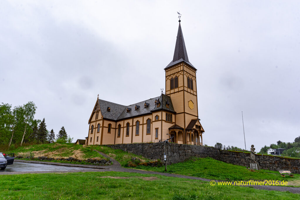
We then visited the Lofoten Cathedral, also in Kabelvåg. The Vågan Church was completed in 1898 and is the largest wooden church in Northern Norway, with room for around 1,200 people.
Photo: Vågan-Kirche in Kabelvåg
As it was still raining, we decided to drive to the north side of Lofoten.
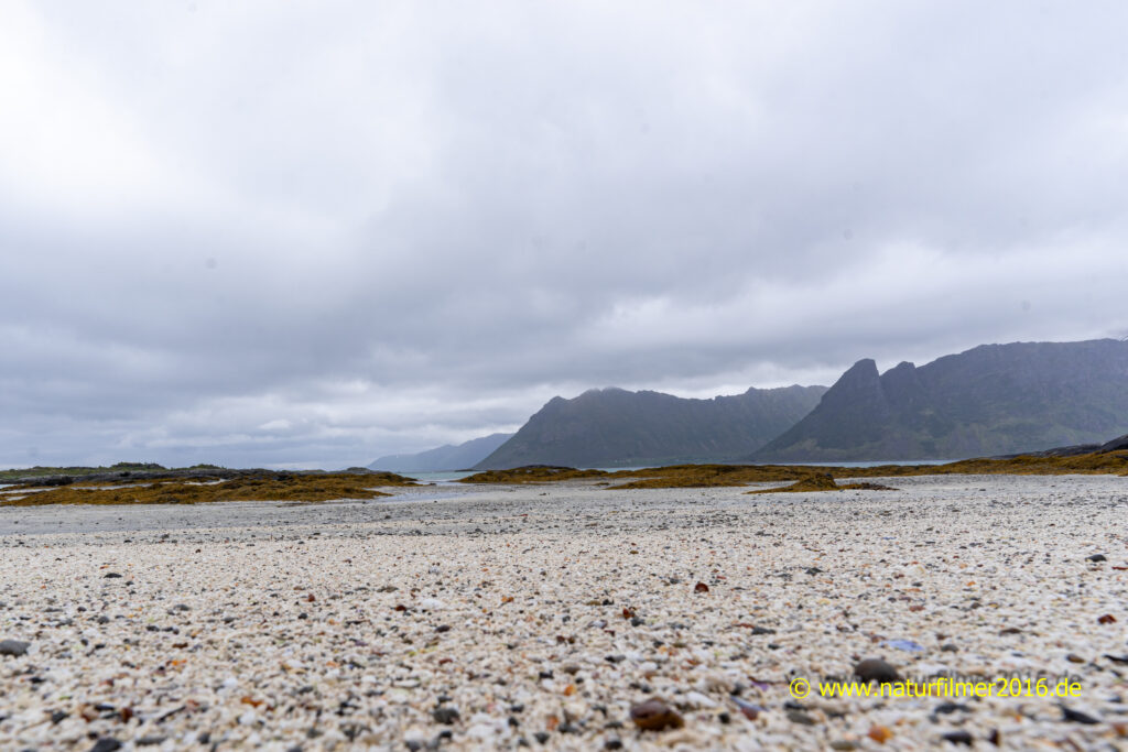
Photo: Meeresbucht in der Nähe der Gimsøy-Kirche.
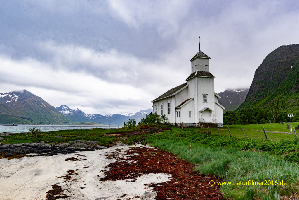
There we photographed the Gimsøy church.
Photo: Gimsøy-Kirche, Gimsøysand, Lofoten.
Back in Henningsvær we went for a walk in dry weather before having dinner.
Photo: Henningsvær, Lofoten, Norwegen
Tag 11: Henningsvær – Å – Mortsund
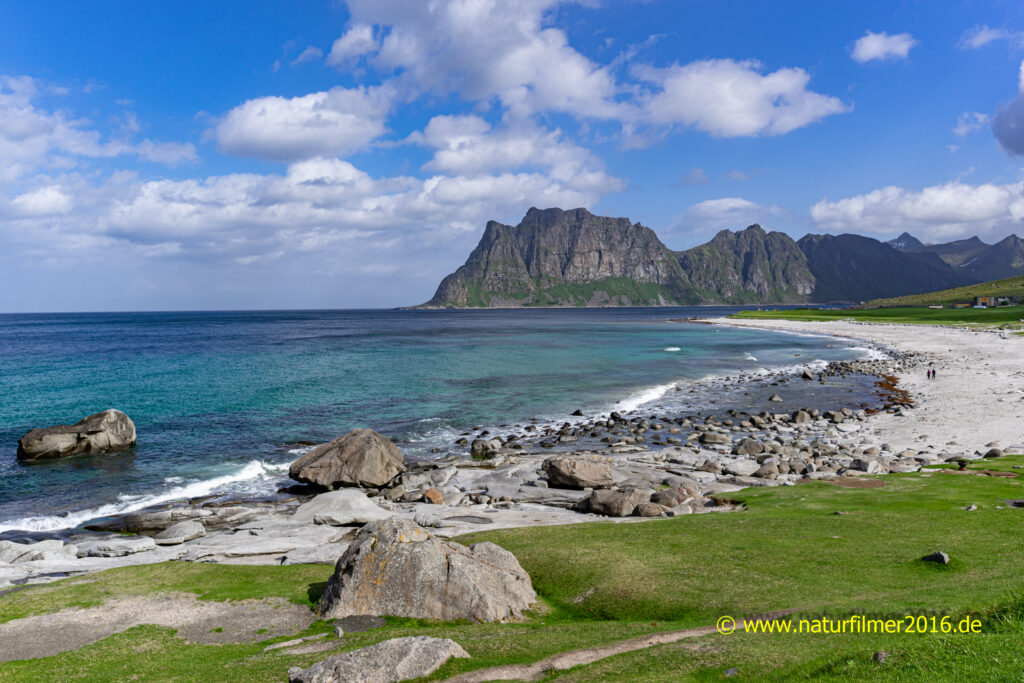
Today we set off from Henningsvær in the direction of “Å i Lofoten” or “Å” for short. First we took the E10 to the island of Vestvagøya. In the northwest of the island (Unstadveien) we were at Haukland beach and Uttakleiv.
Photo: Beach near Uttakleiv, Lofoten, Norway
Then we went through a 1.6 km long underwater tunnel (E10) to the neighboring island of Flakstadøya. Over another bridge we finally reached the southernmost Lofoten island of Moskenesøya. The road led through more tunnels and over several bridges to Å.
Å is the southernmost place in Lofoten that can be reached by car, as this is where the E10, the “tourist road of Lofoten”, ends or begins.
Photo: surf of the sea
A large parking lot accommodates visitors‘ vehicles. From here it is only a short walk to the village.
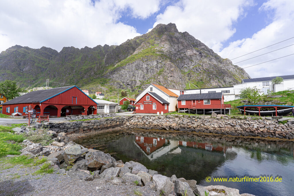
Å is primarily a fishing village museum and consists of 23 buildings that are 150 years old and are still in their original locations. These include several rorbuer, boathouses, a smithy, a bakery and a potion factory. In the museum bakery we had delicious, not quite cheap cinnamon buns.
Photo: Å, Fishing museum
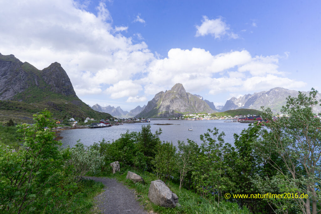
The return journey took us back on the E10 via Reine and Leknes to Mortsund, where we had rented a very spacious, fully equipped rorbu right by the sea.
Photo: Reine, Lofoten, Norwegen
Tag 12: Mortsund – Lødingen
Our last day on the Lofoten Islands turned out to be rainy. But after breakfast it cleared up and the day remained mostly sunny.
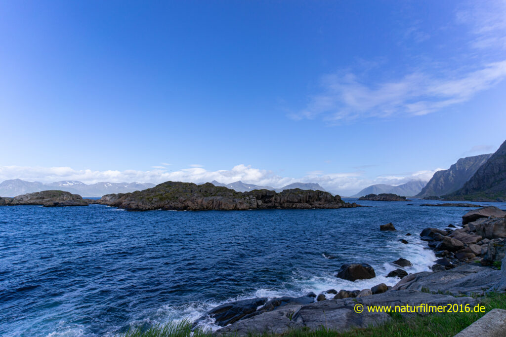
From Mortsund we first drove along the Rv815 on the south coast of the island of Vestvagøya towards Svolvær.
After reaching the main road E10, we continued towards Svolvær via the islands of Gimsøya and Austvågøya to Raftsund.
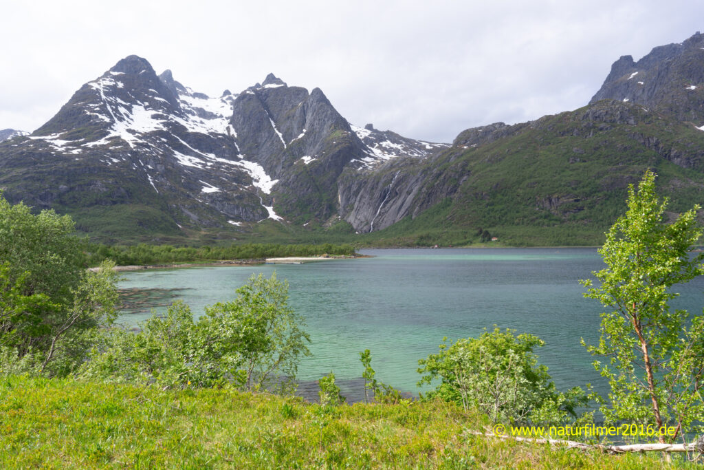
Photo: Bay on the south-east coast of Lofoten on the Rv815
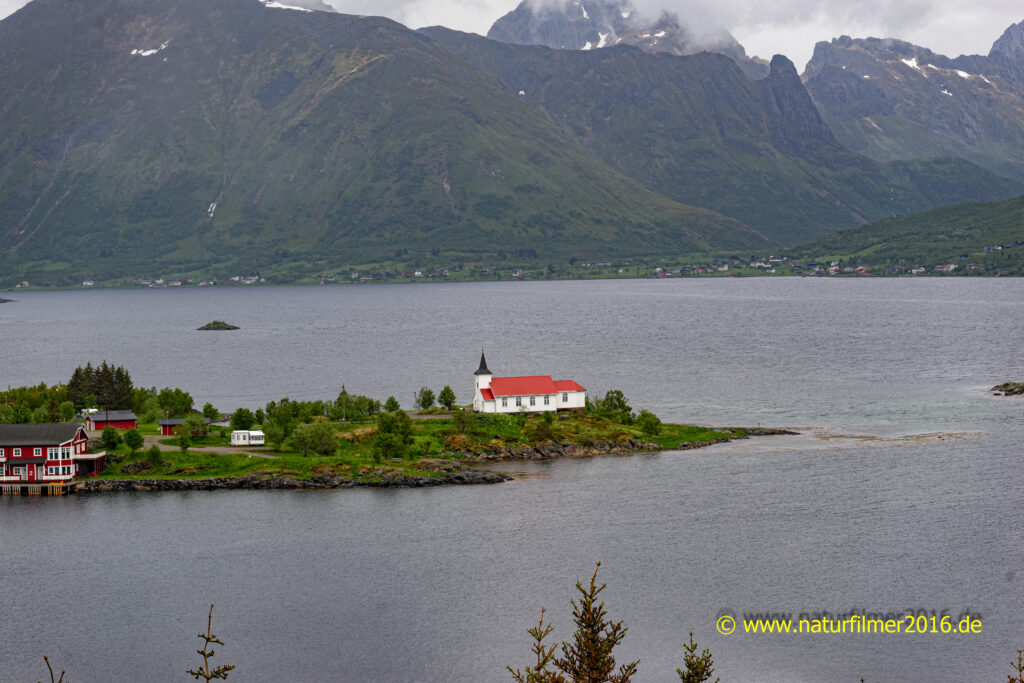
Back on the E10 after several photo stops, one of the most beautiful was at the “Rasteplass Austnesfjorden” (E10) with a view of the breathtaking landscape and the Sildpollnes chapel. After a short break with refreshments, we continued our journey on the E10.
Photo: Sildpollnes Kirche, E10 Sildpollneset Laupstad, Norwegen
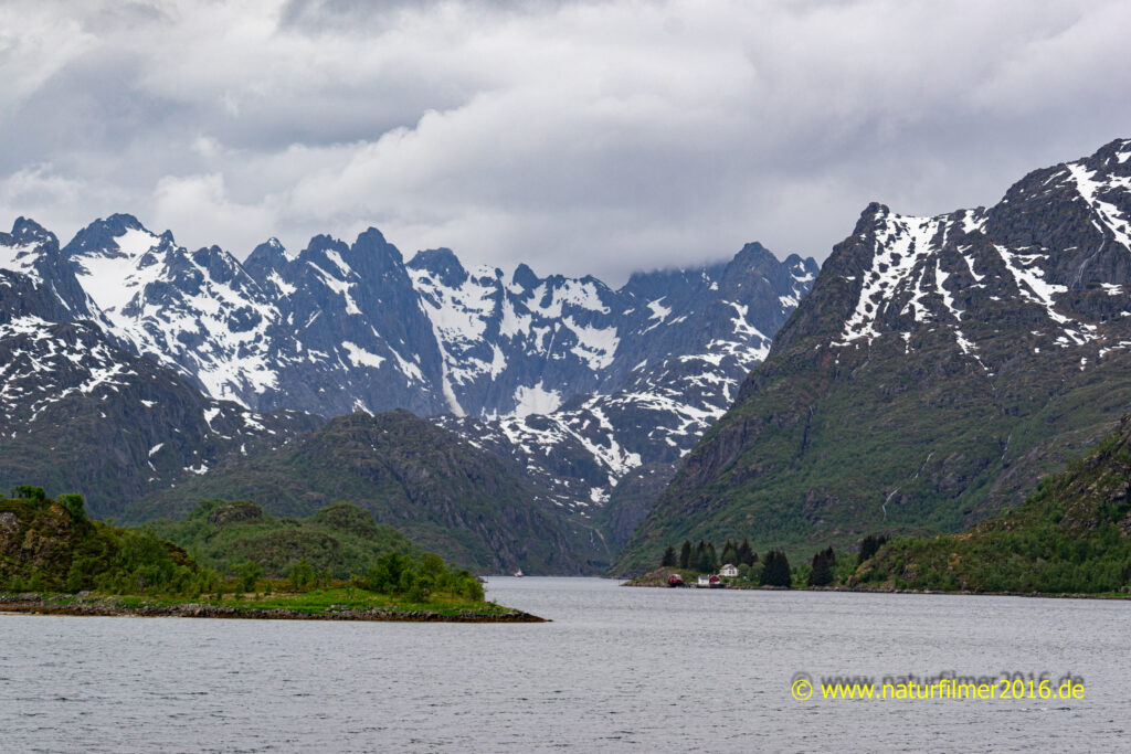
We left Lofoten at Raftsund. However, we made a short detour on the eastern side of Moysalen on the Rv868 into the Raftsund until we saw the entrance to the Trollfjord on the opposite side.
Photo: Raftsund and Trollfjord, seen from RV868
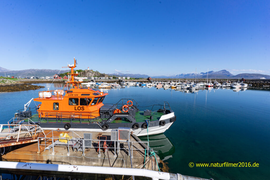
Finally, after a 4-hour drive, we reached the ferry port in Lødingen and our hotel. In Lødingen, we walked to the sunlit marina and climbed a hill on which the old beacon stands. From up here we had a wonderful view over the harbor and the sea and the surrounding mountains.
Photo: Harbor impressions, Lødingen
Zurück zum zweiten Teil – Weiter zum vierten Teil der Reise Norwegen und Lofoten.
Back to the second part – Continue to the fourth part of the trip Norway and Lofoten.
Are you looking for another picture/motif? Maybe I already have it in my extensive photo collection. If you are interested in my pictures (of course without watermark and possibly in higher resolution than shown here), please send me an Email with your request. Thank you very much.
Bernd Heinz
54441 Taben-Rodt
mobil: +49 (0) 171 348 6071
Email: naturfilmer2016@heinz-bernd.de